
Middle Township ZIP Code Coverage
Middle Township covers a broad area with county-seat, bayside, rural, and village addresses. The county's official community directory is the strongest verified local crosswalk, while USPS ZIP Lookup and county GIS are needed for a particular address. A ZIP code is a postal delivery area, not a parcel boundary. Some rows below name communities tied to Middle Township; others are postal areas that can touch neighboring municipal records. For a Middle Township postal search, use the table as a verification starting point rather than a list of every address or person in a ZIP.
| ZIP | Middle Township communities or record context | Postal office or name | Verification note |
|---|---|---|---|
| 08210 | Cape May Court House, Burleigh, Clermont, Dias Creek, Edgewood, High's Beach, Mayville, Pierce's Point, Reed's Beach, and Swainton | Cape May Court House Post Office, 615 Route 9 S | Principal county-seat ZIP; do not assume it covers every township parcel |
| 08218 | Goshen | Goshen postal locality | Current facility details were not located in official research; use municipal code |
| 08219 | Green Creek | Green Creek Post Office, 501 Route 47 S | Postal place differs from the township name |
| 08242 | Rio Grande and Cape May County Airport context | Rio Grande Post Office, 1087 Route 47 S | Crosses Middle and Lower Township |
| 08251 | Del Haven, Miami Beach, North Highland Beach, and Villas in the county directory | Del Haven/Villas postal network | Not a Middle-only ZIP |
| 08252 | Whitesboro | Whitesboro Post Office, 6 E Main St | Whitesboro is within Middle Township while many offices use Cape May Court House 08210 |
| 08260 and 08270 | Grassy Sound/Wildwood or county-directory community context | Wildwood or Woodbine postal context | Verify the individual parcel before calling it Middle Township |
Adjacent county postal areas, including Avalon, Cape May, Marmora, Ocean View, Sea Isle City, Stone Harbor, and Tuckahoe, are useful boundary checks but are not automatically Middle Township ZIP codes. No official USPS boundary shapefile or current municipal crosswalk was located in the research.
Note: Keep a postal result separate from the GIS municipality and parcel number when an address is close to a township line.
Middle Township ZIP Code 08210
ZIP 08210 is the principal Cape May Court House and county-seat postal area in the verified county list. It also appears with Burleigh, Dias Creek, Swainton, Pierce's Point, Reed's Beach, and other community names. That breadth makes the postal city useful for sorting paper records, but a Middle Township postal search still needs the exact address. County and township offices commonly use Cape May Court House 08210, while the physical parcel can carry its own community description in an older record.
The USPS Cape May Court House Post Office result identifies the 08210 facility at 615 Route 9 South.
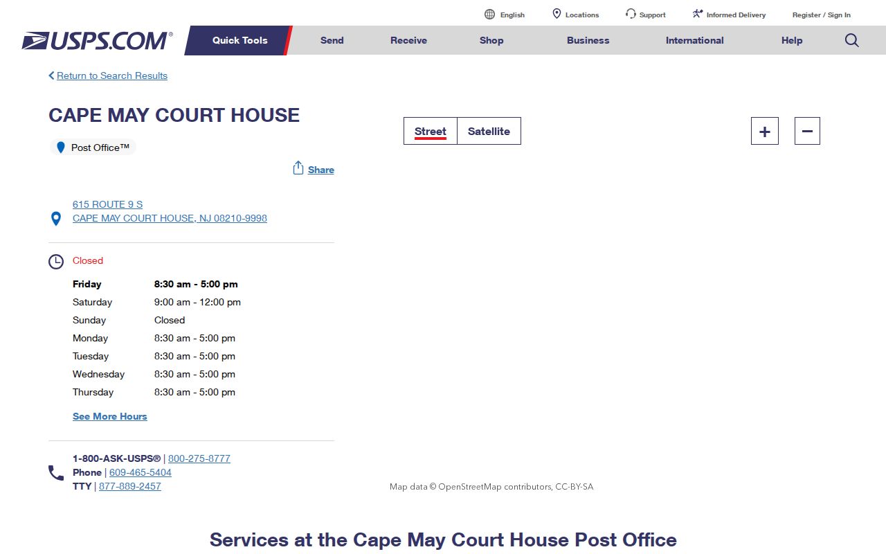
Use the USPS result to verify a delivery address, then compare the full postal output with county GIS before selecting a Middle Township parcel.
Middle Township ZIP Codes 08242 and 08252
Rio Grande 08242 and Whitesboro 08252 show why a Middle Township postal directory needs more than a postal-city search. Rio Grande's ZIP spans Middle and Lower Township, so a Rio Grande address must be checked with the parcel's municipal code. Whitesboro, by contrast, has a separate post office at 6 E Main Street and a 08252-9904 listing, yet county and township offices may use the Cape May Court House 08210 mailing address. Green Creek 08219 and Goshen 08218 add two more local postal labels that do not substitute for a municipal search.
Save the exact postal name as printed on a deed, letter, newspaper notice, or map. Then compare it with Middle Township code 0506 and the block and lot. This preserves the record's original wording without turning a postal place into a separate municipality.
Postal Areas Near Middle Township
Del Haven's 08251 row includes communities in a Middle and Lower Township context, while the county directory associates Grassy Sound/Wildwood with 08260 and several county communities with 08270. Those labels may be useful when reading an old record, but the research does not establish them as broad Middle Township ZIPs. A number that looks nearby is not enough. Use the physical address, municipal code, and parcel geometry to establish the record's location.
For postal information that does not match a familiar township name, search the street first and preserve the legal description if it appears in a deed. The address trail is stronger than a ZIP-only assumption.
Find Middle Township by ZIP
No core county portal identified in the research offers a public resident-by-ZIP browse. PRESS searches municipality, owner, address, and block or lot rather than ZIP. The county GIS viewer searches physical address, owner, and municipal code with block and lot. New Jersey's voter self-check verifies an individual's own registration information rather than listing people in a ZIP. Use a ZIP to organize exact addresses, then route each address through the official tools that can identify the parcel and recorded trail.
- Verify the full delivery address with USPS and retain the postal city and ZIP+4 if it is displayed.
- Search the physical address in the Cape May County GIS viewer and confirm Middle Township municipal code 0506.
- Run the address or street text in PRESS with Municipality Name set to Middle Township, then save the block, lot, qualifier, owner context, and situs address.
- When a recorded transfer matters, use the Clerk land-record index with the owner, town, date, and parcel or legal-description information.
- For street-level parcel work after the ZIP is narrowed, use the Middle Township street directory route.
The Clerk Record Room and Archives remain the fallback for records before electronic coverage. For a permit, code, or tax item not posted online, ask the correct municipal or county custodian about an OPRA request. A county library, History Online, or State Archives collection can add historical context, but none of those sources creates a ZIP-wide resident list.
ZIP Fields in Middle Township Tools
The county resource directory is the local tool in the research that visibly carries a ZIP parameter. It searches public organization and business listings, not residents. That distinction makes it useful for finding a public contact in a postal area, but not for drawing conclusions about the people at nearby addresses. PRESS, GIS, the voter portal, and the Clerk's land-record search each use different fields, so a Middle Township postal-directory search has to convert the postal clue into an address or parcel query.
| Portal | ZIP search availability | Use after a ZIP check |
|---|---|---|
| County resource directory | City, state, and ZIP filters in some categories | Finds public organizations and listings, not a household roster |
| PRESS | No ZIP field found | Search Municipality Name with owner, address, or block/lot |
| County GIS | No ZIP field found | Search physical address, owner, or municipal-code/block/lot |
| NJ voter self-check | No public ZIP browse found | Individual registration verification only |
| Clerk land records | No ZIP mode listed | Use party, town, date, book/page, lot/block, or parcel modes |
The assigned county directory ZIP-filter route demonstrates the ZIP-capable public-listing search.
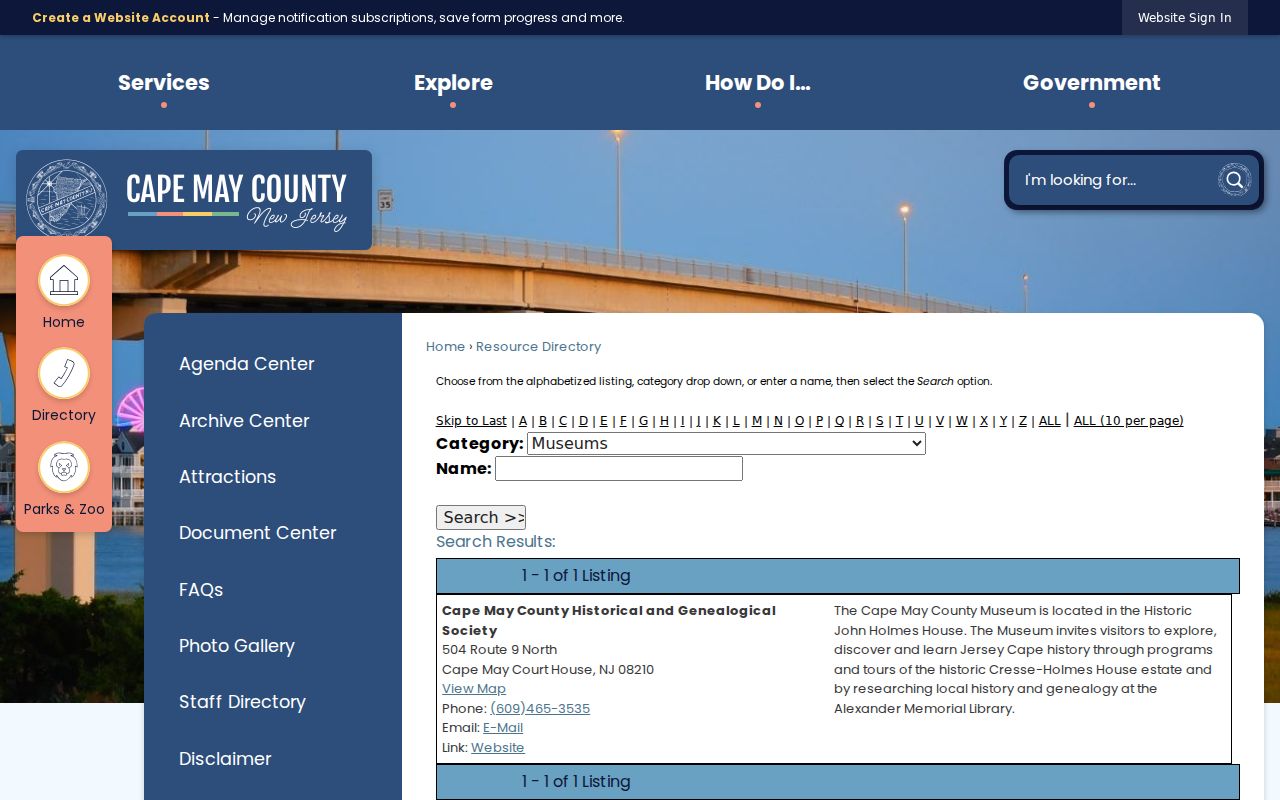
Use that filter for public organization contacts, then return to USPS, GIS, PRESS, and Clerk tools for address and parcel verification.
USPS Checks for Middle Township
USPS verification comes before a parcel conclusion. Save the complete street address, postal city, ZIP, and ZIP+4 where the lookup provides it. Then compare the result with the Clerk's town selection and the GIS municipality. This is especially useful for a Middle Township address whose old paper trail says Cape May Court House, Rio Grande, or Whitesboro. The postal answer confirms delivery formatting; GIS and the tax parcel establish municipal and physical context.
The official Middle Township profile describes the township's county-seat, village, bayside, and rural geography that produces these varied postal labels.
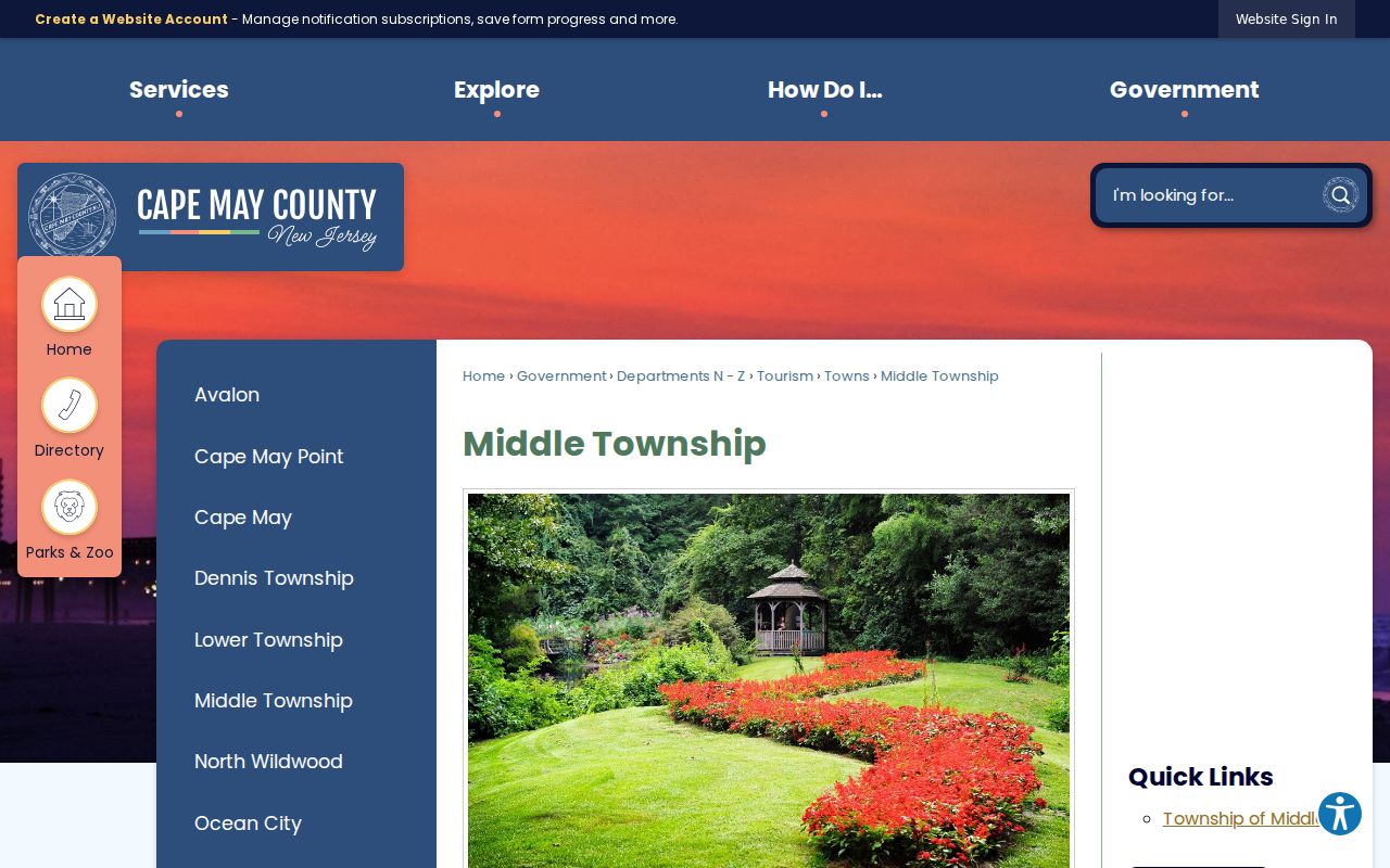
That local geography is why an exact address needs both a postal check and a municipal parcel check.
ZIP Boundaries and Middle Township
ZIP boundaries and Middle Township limits answer different questions. A ZIP identifies a postal delivery area. A municipality identifies the government and parcel jurisdiction. The situs address is the physical location of a parcel; the tax mailing address is where notices go; the deed's legal description anchors title. These records can agree, but they do not mean the same thing. A Rio Grande ZIP can include parcels in more than one township, and a Whitesboro address may use a postal identity that differs from a county-office mailing address.
- ZIP and ZIP+4
- A ZIP identifies a delivery area; ZIP+4 adds a more precise delivery segment when USPS provides it.
- PO-box ZIP
- A postal code associated with post-office boxes. The research did not verify a Middle Township PO-box-only ZIP.
- Unique ZIP
- A ZIP assigned to one institution or organization. No Middle Township unique ZIP was verified in the research.
- Carrier route
- A postal delivery grouping used by the mail system. It is not a municipal parcel boundary or a resident directory.
Use the county GIS municipal code and the deed legal description before assigning a record to Middle Township. An address string alone can be misleading when community names and county postal areas overlap.
Note: Postal coverage can guide the search, but block, lot, and legal description are the stronger jurisdiction checks.
Middle Township ZIP Limits
A shared ZIP does not prove that an address lies in Middle Township. The county directory itself links some postal areas to communities that cross or abut other municipal records. Treat a ZIP result as a useful label, not a township boundary. The same caution applies in reverse: a Middle Township parcel can carry a postal place name that does not say Middle Township. County GIS and the municipality field in PRESS are the reliable local checks.
This boundary rule keeps a postal directory useful for family papers, property questions, and civic research without treating postal routing as legal geography.
Middle Township ZIP History Gap
No official source located a Middle Township ZIP split or realignment year. USPS facility pages and the county directory establish current postal names and facilities, not historical boundaries. When an older address is in question, compare the printed postal name with deeds, county notices, older directories, and available USPS postal bulletins. Do not assign a historical boundary date that the record sources do not support.
Historic research also benefits from retaining every name exactly as printed, then crosswalking it through the 0506 parcel code, the county archive, and the current postal result.