
Middle Township Neighbors Block Record Coverage
Public records can describe parcels around a Middle Township address, but they do not create a complete household list. The strongest source is the Cape May County GIS Parcel Viewer, which maps a selected parcel and produces a nearby-property report. PRESS supplies current owner and tax-parcel context, while the County Clerk index adds recorded ownership chronology. Civic listings can provide a public community contact. These sources should be read as separate records with different purposes.
| Block source | What it can show around an address | Access |
|---|---|---|
| Cape May County GIS Parcel Viewer | Selected parcel, nearby properties within 200 feet, and report geometry | Free viewer with PDF or Excel buffer report |
| Cape May County PRESS | Current owner, physical parcel, tax mailing address, and street matches | Free search; choose Middle Township first |
| Cape May County Clerk deed index | Recorded parties, transfer dates, legal descriptions, and document trail | Online coverage plus Record Room and Archives |
| NJ voter self-check or lawful request | An individual’s status or legally released fields, not all households | Self-check or custodian guidance under privacy rules |
| County civic directory | Public organization names and contact points | County category and name search; no private member list |
Ownership is not occupancy. A tax mailing address can be different from the parcel situs, and the person named on a deed may be tied to an earlier transfer. Renters, other household members, utility customers, delivery records, and protected addresses do not become public simply because a parcel appears next to another parcel on a map.
Middle Township Neighbors: Map a 200-Foot Buffer
The Cape May County Parcel Viewer / IMS is the right starting point for an immediate block. Search the target physical address, select its parcel, and use the Parcel Buffer Report rather than deciding from a road view which lots are adjacent. The viewer also supports owner, municipal-code/block/lot, and physical-address searching. Middle Township’s municipal code is 0506, which helps separate its parcels from same-named streets elsewhere in the county.
- Enter the physical address in the GIS viewer and confirm the selected parcel rather than relying only on a postal-place label.
- Open Parcel Buffer Report for the selected parcel and generate its nearby-property list within 200 feet.
- Download the report as PDF or Excel if a dated working copy is needed, keeping its scope with the notes.
- Open each selected parcel in PRESS to compare current owner, parcel situs, and tax mailing address.
- Use the Clerk deed index only when a recorded ownership date or earlier party connection is relevant.
The Cape May County Mapping Service explains the county’s mapping and parcel-data role.
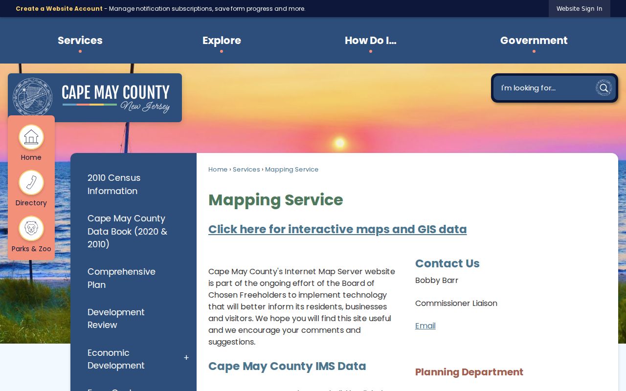
The map establishes parcel geometry and offers a documented way to inspect a close radius. It does not establish a shared fence line, a personal relationship, or a common household. For a full named-street record chain rather than this block-sized view, use the Middle Township by-street directory.
Research tip. The viewer’s parcel buffer can export a PDF or Excel list for a selected parcel, which is more reliable than estimating a block from the screen.
Cross-Checking a Middle Township Block in PRESS
Cape May County PRESS is the current property layer for each parcel selected from the buffer. Choose Municipality Name = Middle Township, then use the address search with a street name or partial street name. PRESS also offers current-owner and block/lot/qualifier modes. A search result opens the parcel’s detail and map context, making it useful for checking the record date and distinguishing a physical address from the owner’s mailing address.
The Cape May County Tax Assessors page provides the Middle Township assessor-contact context for this current-property layer.
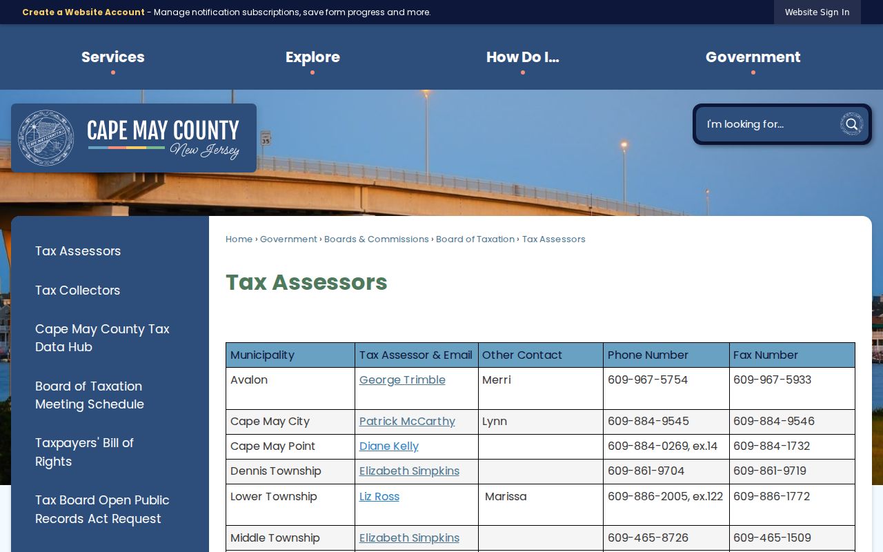
PRESS is current-owner oriented. It can support a present ownership question, but it cannot prove that the owner occupies the parcel or that every person there is a neighbor. A former owner requires a backward deed search, and a person with no ownership interest may not appear in this property layer at all.
Middle Township Neighbors Deed Dates
For an ownership chronology, move from PRESS to the Cape May County Clerk Land Records Public Search / NewVision rather than treating the tax roll as history. Search a party name, document type, town, date range, file number, book and page, or lot and block as the index permits. Match the legal description and parcel identity before following a grantor or grantee backward, because a shared surname or nearby address can point to a different transaction.
The Clerk reports electronic land-record access from January 1, 1996 for some series and August 12, 2000 for the general electronic set. Earlier physical books and archives reach to 1692. The Record Room and Archives at 7 N. Main Street in Cape May Court House are the fallback for earlier research; the office is generally open Monday through Friday, 9 a.m. to 4 p.m. for self-directed searching, and staff-assisted research requires an appointment. The published public-record number is 609-465-1023.
Middle Township Voter Limits
New Jersey’s “Am I Registered?” portal is a personal registration self-check, not a web map of the people on a block. State guidance indicates that name, date of birth, and city or county support the self-check, which can return registration and election context for the searching individual. The research did not locate a current Cape May County request form, fee, delivery format, or full field inventory for a complete voter file. Do not promise a default public street list.
For current guidance on legally disclosable records, contact the Cape May County Commissioner of Registration and Board of Elections at 10 West Mechanic Street, Cape May Court House, or call 609-465-1050. Additional access routes documented in the research include a mail registration/update form, the state election office, a narrowly written request to the correct custodian, library reference help for historical material, and County Clerk archives. Full birth dates, signatures, Social Security numbers, driver identifiers, ballot choices, and protected addresses should never be disclosed.
Research limit. A nearby parcel owner is not automatically a voter at that address, and a self-check does not turn the voter system into a block roster.
Middle Township Neighbors Civic Contacts
The community layer is useful when the goal is a public contact point, neighborhood history, or local institution, but a directory entry is not evidence of private membership. The county resource directory permits first-letter browsing, category and name searches, and returns organization name, address or map, phone, web link, and descriptive text. It does not publish household or member rosters. The named local finding is Concerned Citizens of Whitesboro, a civic, educational, recreational, arts, and historical organization listed with P.O. Box 412, Whitesboro, NJ 08252.
| Community contact trail | Verified status | Appropriate use |
|---|---|---|
| Concerned Citizens of Whitesboro | Public county resource-directory entry | Public civic contact and community-history context |
| Whitesboro and Burleigh organization listings | Area entries are present; umbrella group not verified | Find public contacts without assuming a household connection |
| Township-wide association inventory | No official complete inventory was located | Ask the Township Clerk or search the county directory |
| Churches, fire companies, veterans, and fraternal groups | Public organization contacts may be listed | Community and historical research, not private roster access |
The Cape May County community directory is the public contact layer available for this purpose.
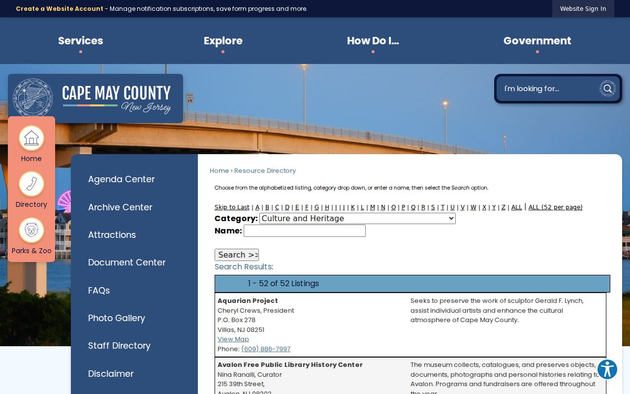
Use a civic listing to identify an organization that is publicly connected to a place. Private membership directories were not located in the research, and community contacts should not be converted into claims about residents of a particular block.
Middle Township Neighbors Official Tools
Official portals and commercial neighbor-lookup tools are different categories. A county map, tax record, or Clerk index has a named custodian, a stated record purpose, and a route for correction or a copy. Commercial services often combine property, marketing, public-record, self-reported, and inferred association data. They may charge for access, carry stale data, or merge different people with the same name.
| Official parcel and civic sources | Commercial neighbor-lookup category |
|---|---|
| Can show the date, parcel, record type, and responsible public office. | May combine data from multiple sources without a single record custodian. |
| Supports direct verification with PRESS, the Clerk, GIS, or the civic organization. | Can contain stale matches or inferred associations that need independent checking. |
| Has defined privacy and correction procedures for the underlying record. | May offer opt-out or correction requests that must be checked again over time. |
Middle Township Neighbors Postal Geography
Middle Township’s geography makes the municipal parcel more dependable than a postal name alone. Cape May Court House, Burleigh, Dias Creek, Swainton, Pierce’s Point, and Reed’s Beach appear in the 08210 postal area; Rio Grande is associated with 08242, Green Creek with 08219, Goshen with 08218, Del Haven with 08251, and Whitesboro with 08252. Rio Grande’s postal ZIP can cross Middle and Lower Township, while many county and township offices use Cape May Court House 08210.
Keep the postal name exactly as printed in a historic notice, then cross-check it against the 0506 municipal code, block and lot, parcel geometry, and legal description. This is especially important in a dispersed township with county-seat, bayside, rural, and village areas. A ZIP or community name can improve a search, but it does not define the immediate block or establish who is connected to it.
Middle Township Neighbors Privacy Boundaries
New Jersey privacy law and record-specific rules set firm limits on a block search. The Address Confidentiality Program may give qualifying participants a substitute address, and Daniel’s Law can lead the County Clerk to show a “Sealed Page” result for covered people. Court, vital, DMV, and voter protections also apply. Do not attempt to reconstruct a protected address, copy sensitive identifiers, or treat an absence from a parcel or voter result as proof that someone has no local connection.
When a public record appears wrong, contact the office that created it and use that custodian’s correction, amendment, redaction, or release process. The New Jersey Open Public Records Act permits identifiable-record requests through the proper agency but does not override privacy statutes or court rules. The research supports a fallback chain of the portal, office counter or phone, written request where lawful, library, archives, and historical newspaper collections. Each source should be cited for what it confirms, not made to answer a different question.
Lawful use. Block research can support neighborhood curiosity, reconnecting, civic history, property context, or scam awareness. Never use records to monitor, stalk, harass, threaten, or intimidate a person.